From SQL to Spatial: What PostgreSQL and PostGIS Changed for Me
From SQL to Spatial: What PostgreSQL and PostGIS Changed for Me
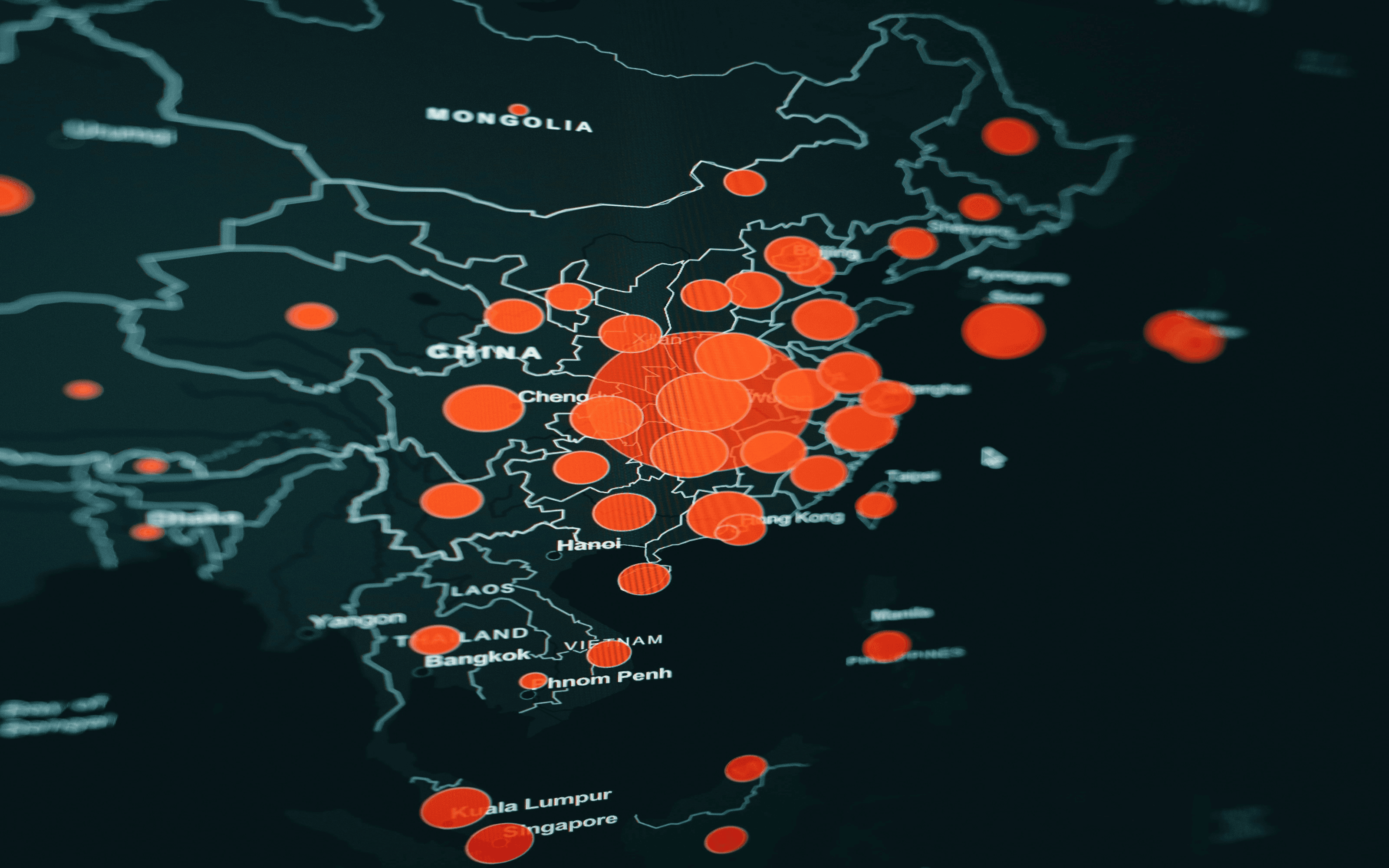
PostgreSQL & PostGIS
I first sat with PostgreSQL over a year ago. It was my introduction to SQL — and honestly? It was overwhelming. But it sparked a curiosity I couldn't ignore. That curiosity led me to IT Academy's Data Analytics Bootcamp, where I spent months working with MySQL. Query by query, I built the foundations. I learned to structure data, to ask it questions, to make it reveal answers. And somewhere along the way, I realized something: SQL isn't a monolith. MySQL, PostgreSQL, Oracle — they share a core language, but each has its own strengths. Understanding those differences is where the real leverage is. So I went back to where it started. I just completed the PostgreSQL and PostGIS Course at Cibernàrium — for the second time. This time, with a year of practice behind me, I could finally see what makes PostgreSQL distinctive: ✅ Portable expertise. It adheres strictly to SQL standards. Master PostgreSQL, and you can work across MySQL, Oracle, SQL Server. The logic transfers. ✅ A geographic lens. With PostGIS, it becomes a spatial database. It answers the where — a game-changer for market analysis, logistics optimization, and expansion planning. Suddenly, data has coordinates. ✅ Sharper territory decisions. Customer proximity, competitor density, untapped white spaces — questions that were once too complex to tackle with rigor are now within reach. And for someone focused on business growth, that's the difference between guessing and knowing. One course, two times, a deeper understanding. Always learning. hashtag#PostgreSQLhashtag#PostGIShashtag#SQLhashtag#BusinessIntelligencehashtag#DataDrivenhashtag#CommercialStrategyhashtag#ContinuousLearninghashtag#Cibernarium